To get the best experience while using this website use on of the following internet browsers - Chrome or Firefox.

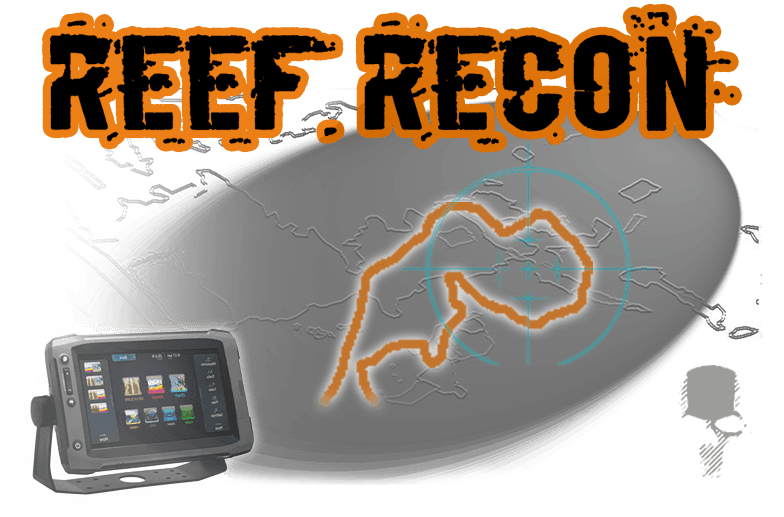
Formerly oyster reefs were identified on maps by single waypoints. With Reef Recon (TM) you can see the entire reef boundary and know exactly where you are in relation to the entire reef. If you want to fish the edge of it, you can do that. If you want to stop your drift at the true end of it, you can do that. If you want to start your drift at the edge of it, ... you get the picture.
The file is easily imported into your GPS unit via an SD card. It’s designed to work in conjunction with any base map whether it is your unit’s stock basemap or a third party base map upgrade such as Navionics and others. It can also be used standalone without a base map if your unit does not project a map.
Note: The file is a download available immediately after purchase. If you want a preloaded SD card there is a service and shipping fee - contact tobin@troutsupport.com to arrange for preloaded chip.
 Reef Recon is Registered Copyrighted Work- 2018